cropped-Logo_Horizontal-1-1.png
November 1, 2017
0 Comments
Explore More
Farmer Report – The ROI of Conservation Tillage
Derek Thompson, a Noble County Farmer and NRCS District Conservationist, shared about life on the farm and the return on investment of incorporating conservation practices onto his operation in an
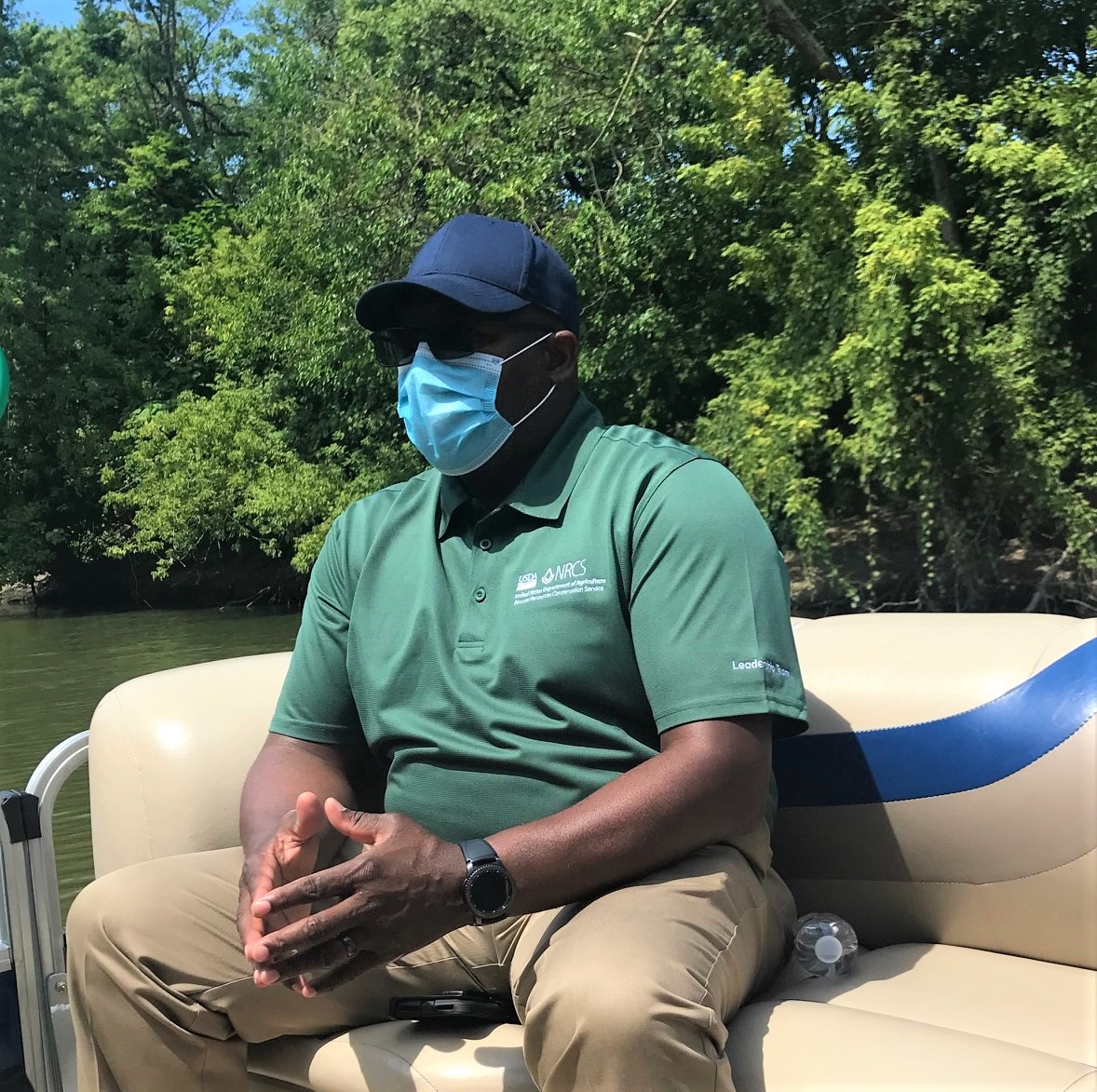
2020 River Boat Tours Prove to be Successful

This fall, the Allen County SWCD and the Maumee Watershed Alliance had numerous opportunities to give tours of Fort Wayne’s three rivers – the St. Mary’s, the St. Joseph’s, and
Farmer Report – Work Smarter, Not Harder
Mike Werling is a fourth generation farmer in Decatur, Indiana. Farming is his lifestyle. He started with his father and now its in his blood. Mike started on his journey

